AT Spring Break Trip-Damascus to Fox Creek
Day 1: We, 17 school students and 4 faculty, drove a few miles up the road out of the little quaint town of Damascus Virginia located in the southwestern part of the state.  http://www.colorantshistory.org/BeaverChemicalWorks.html/ We put in on the AT by Whitetop Laurel creek and the Virginia Creeper trail. Both where very beautiful and made the first few miles serene. We then began climbing a steep mountainside that led to a ridge where we found camp. We stayed at the Saunders AT shelter. This camp had a spring of untreated water and a nice shelter. Overall very spacious with a great fire pit.
  http://blog.gaiam.com/for-a-spring-green-bike-ride-try-%E2%80%98rails-to-trails%E2%80%99/
 http://www.colorantshistory.org/BeaverChemicalWorks.html/ We put in on the AT by Whitetop Laurel creek and the Virginia Creeper trail. Both where very beautiful and made the first few miles serene. We then began climbing a steep mountainside that led to a ridge where we found camp. We stayed at the Saunders AT shelter. This camp had a spring of untreated water and a nice shelter. Overall very spacious with a great fire pit.
  http://blog.gaiam.com/for-a-spring-green-bike-ride-try-%E2%80%98rails-to-trails%E2%80%99/
 http://www.vacreepertrail.com/
Day 2: We got up at a leisurely time and hiked along the ridge line all morning. At lunch we met back up with the Whitetop Laurel creek and had a refreshing lunch by the stream. By the afternoon we climbed a little ways to a road and then beyond that made camp for the night in an opening surrounded by trees. It was a great campsite with a flowing stream near it but no shelter. Many slept outside to enjoy the stars.  http://www.pjwetzel.com/2012/02/oh-temptation.html
 http://www.pjwetzel.com/2012/02/oh-temptation.html
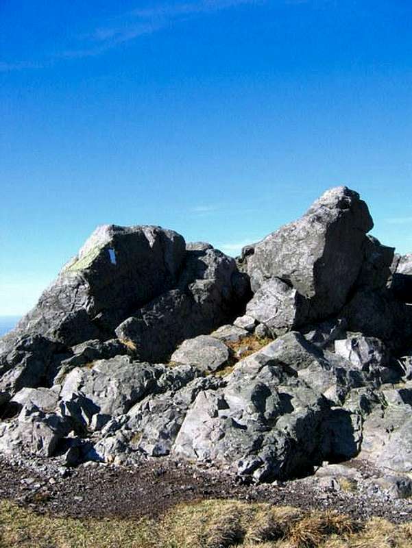
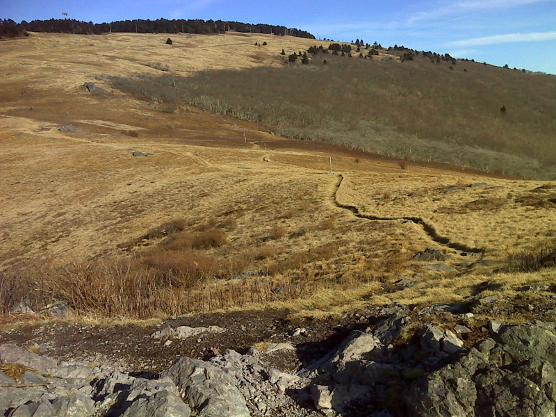
Day 3: This was a big day! We got up early and began climbing up to Buzzard rock. Buzzard Rock is an outcropping in a large field that is just shy of the Whitetop mountain summit.  http://www.summitpost.org/whitetop-mountain/153534/ Great spot for photos and fun. Very windy and cold too mostly exposed in a big meadow!
  http://rohland.homedns.org:8008/at/at_VAsection44/AtPicturesAjax.aspx?page=AtPictures2
 http://www.summitpost.org/whitetop-mountain/153534/ Great spot for photos and fun. Very windy and cold too mostly exposed in a big meadow!
  http://rohland.homedns.org:8008/at/at_VAsection44/AtPicturesAjax.aspx?page=AtPictures2
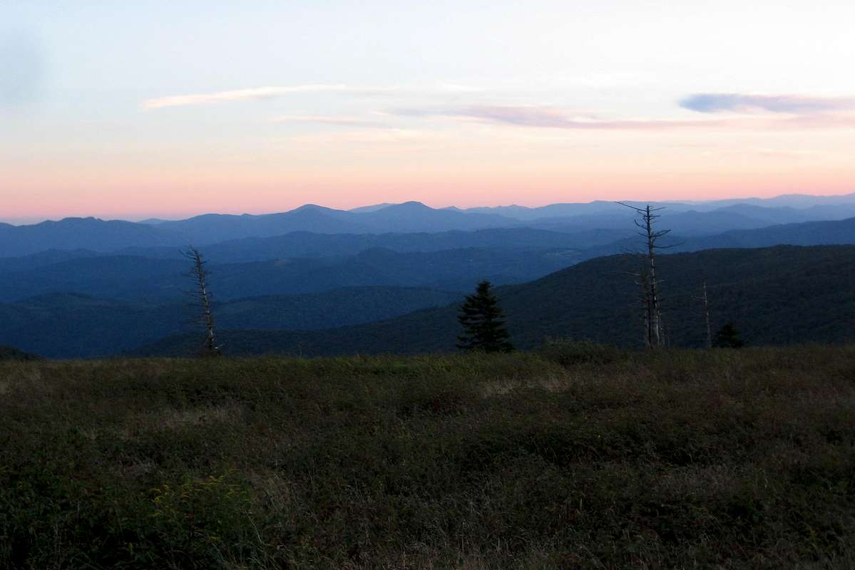
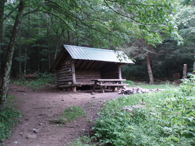
From there we made a long 6 mile push to Mt. Rodgers, hiking through some dense fern sections of forest that seemed to emulate the Oregon coast. At the base of Mount Rogers we had a grueling climb of about 3 miles (uphill) to Thomas Knob shelter. a HUGE shelter that held most of the hikers. Very windy and cold here as well. There is a rock outcropping that gives one of the best views in the blue ridge I have ever seen. To summit Mt. Rogers you must take a spur trail that goes half a mile up from Thomas Knob. The summit is covered with dense trees that also look like the pacific northwest forests. Very icy and slippery up there from the recent snowfall but still very cool! Highest point in the state! 5,728 ft. over a miles high.  Thomas Knob Shelter: http://virginiahiking.wordpress.com/tag/appalachian-trail/
 Thomas Knob Shelter: http://virginiahiking.wordpress.com/tag/appalachian-trail/
 http://www.summitpost.org/mount-rogers/150778
 http://www.summitpost.org/sunset-from-near-thomas-knob-shelter/337666
Day 4: Yet another epic day! We hiked through California, or what looked like it. Along the top of this ridge it was mostly meadows and large pine trees. Looked like something out of Marin County near San Francisco. Crazy thing is you can save money and time by hiking up to Thomas Knob and through the Grayson Highlands State Park. The Grayson Highlands should be called the Sierra Nevadas. Large open meadows clumped with pine trees and TONS of rock outcroppings. Very beautiful, again not something you see everyday in Virginia. We even went through a sketchy but sweet ice slot between two boulders. It was very cool!!! Highly recommend going up there at some point! After descending off the ridge (back into Virginia terrain) we stopped for lunch at a creek that runs right through the trail. There is a nice bridge over it and a waterfall into a rapid. A nice place to relax and soak in a cool stream if needed. The rest of the day we slugged through the miles and finally set up camp at Old Orchard Shelter. Small shelter and a spring down the trail not too far from camp.  Grayson Highlands http://cragmama.com/2011/05/parliers-project-a-documentary-of-grayson-highlands-state-park/
 Grayson Highlands http://cragmama.com/2011/05/parliers-project-a-documentary-of-grayson-highlands-state-park/
 http://www.richardsmith.net/wrsunrise1.html
 http://www.midatlantichikes.com/mountrogersbp.htm
 http://www.backpackinglight.com/cgi-bin/backpackinglight/forums/thread_display.html?forum_thread_id=54578
 http://whiteblaze.net/forum/vbg/showimage.php?i=30&c=556
 https://www.google.com/search?q=Fox+Creek+intersection+AT&source=lnms&tbm=isch&sa=X&ei=8pwzU_ycDaitsQSVnIC4Dg&ved=0CAcQ_AUoAg&biw=1280&bih=933#q=thomas+knob+view&tbm=isch&facrc=_&imgdii=_&imgrc=sDzH5-pcSJzUGM%253A%3B11PuwpcCJjmJqM%3Bhttp%253A%252F%252Fgeorgiatomaine2012.files.wordpress.com%252F2012%252F04%252F4-19-view-from-thomas-knob.png%3Bhttp%253A%252F%252Fgeorgiatomaine2012.wordpress.com%252Fpage%252F48%252F%3B1632%3B1224
No comments:
Post a Comment